If you have ever found yourself crawling along the Cipali toll road at 3:00 AM, surrounded by a sea of red brake lights and the faint smell of clove cigarettes and exhaust, you know exactly what I mean when I say the Indonesian Mudik is more than just a trip. It is a visceral, high-stakes national heartbeat. Every single year, millions of people pack their entire lives into the back of SUVs or onto the seats of overloaded motorbikes, all chasing the same sunset toward their hometowns. It’s a beautiful tradition, but let’s be real: that heartbeat can very quickly start to feel like a collective panic attack the moment the traffic stops moving and the heat starts rising. According to the latest insights from Telset, we are finally looking at a massive, structural shift in how we manage this annual chaos in 2026. It’s all thanks to a significantly deepened partnership between Google Indonesia, Korlantas Polri, and Jasa Marga, and honestly? It’s about time.
For the first time in my memory of covering these updates, we’re seeing a level of data integration that feels less like a polished corporate press release and more like a genuine, high-utility public service. We’ve all grown accustomed to Google Maps telling us there is “heavy traffic ahead” in that ominous, deep red hue that makes your heart sink. But for 2026, they are going much deeper. We are talking about real-time, authoritative data coming straight from the police and toll road operators, fed directly into the palm of your hand. This isn’t just tech for the sake of tech; it’s a democratization of information that, frankly, has been long overdue for a migration of this scale. It’s about giving the average driver the same “god-view” of the road that the dispatchers have.
Finally, a Map That Actually Matches the Road (and the Police Orders)
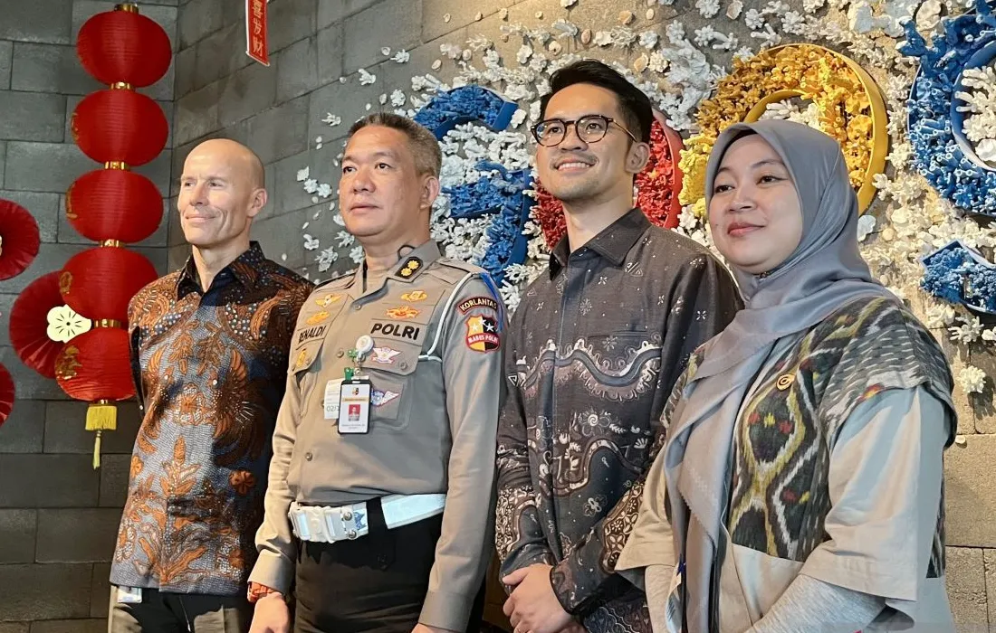
Let’s be brutally honest with ourselves: for years, navigating the Mudik rush was roughly 50% technology and 50% “vibes.” You would stare at your phone, see a red line, and then just pray that the “One-Way” system the police announced on Twitter three hours ago was actually being enforced at the junction you were approaching. It was messy, it was stressful, and it led to some truly legendary traffic jams. But as we gear up for the 2026 season, it seems like that frustrating gap between official government policy and digital reality is finally being bridged. Richard Darsono, who serves as Google Indonesia’s Strategic Partner Development Manager, recently noted that this specific partnership hasn’t just appeared overnight—it has been five years in the making. This year, the keyword they are obsessed with is “validity.”
When you fire up Google Maps this year, you won’t just be looking at an algorithm’s best guess based on anonymous phone pings. You’re going to see the actual, verified schedules for road closures, the exact GPS coordinates for where a contraflow lane starts, and even the estimated toll prices for your specific route. Consider the scale here: a 2025 Ministry of Transportation study estimated that over 130 million people participated in the migration last year. When you are dealing with a number that large—larger than the population of most countries—even a tiny 5% improvement in the flow of traffic can save thousands of hours of collective human life. It’s the difference between reaching your parents’ house for dinner or spending the night sleeping in your car on a highway shoulder. We are finally moving from reactive driving to proactive, data-driven planning.
“Information on traffic engineering needs to be known by the public so they can determine their choice of route and travel time. The flow arrangement scheme is prepared based on field data and monitoring of crucial points.”
— AKBP Renaldi Oktavian, Kasubbag Dalops Bag Ops Korlantas Polri
But the real magic isn’t just happening on the massive, multi-lane highways. I think the most underrated part of this integration involves the “functional” roads—those temporary, often experimental stretches of pavement that the government opens specifically to handle the holiday rush. In the past, these were effectively the “ghost roads” of Google Maps; they were there in the physical world, but they didn’t exist in the digital one, which meant people were terrified to use them. Not anymore. This year, those temporary routes are being mapped in real-time. This gives drivers more legitimate options than ever before to bypass the traditional bottlenecks that have plagued the North Coast (Pantura) route for decades.
Why Having 3,500 Sets of Eyes Changes Everything for the Average Driver
If we think of Google as the “brain” of this entire operation, then Jasa Marga is undoubtedly the “eyes.” They have deployed a staggering network of over 3,500 CCTV cameras across their entire infrastructure. In previous years, that video footage was mostly locked away, used by operators in a dark control room to monitor accidents. Now, thanks to the integration with Google and the Travoy app, that visual data is being used to dictate the “ground truth” of your navigation. A 2024 Statista report highlighted that over 85% of Indonesian internet users rely on digital maps for their daily navigation, and this new integration is a massive acknowledgement of that reality. It’s meeting the people where they already are.
Personally, I find the new focus on “Rest Areas” to be one of the most interesting and practical additions to the suite. We’ve all been in that nightmare scenario—you’re low on fuel, the kids are restless, and you pull into a rest area only to find it so packed that you can’t even find a place to park, let alone get back out onto the highway easily. By using real-time camera data to monitor these specific spots, the system can now give you a heads-up 20 kilometers in advance if a rest area is at capacity. It might sound like a minor convenience, but it’s exactly these kinds of micro-decisions that prevent the massive “macro-traffic” jams that usually paralyze the major arteries. If you know the next stop is full, you keep moving, and the whole system stays fluid.
And then, of course, there is the money factor. Including real-time toll rates in the navigation isn’t just a nice-to-have feature; it’s a vital budgeting tool for families. If you’re traveling all the way from Jakarta to Surabaya, those toll fees add up to a very significant chunk of your holiday budget. Knowing that cost upfront, integrated directly into your route choice, allows for a level of financial transparency that we simply didn’t have five years ago. It turns the journey from a series of expensive, stressful surprises into a well-planned expedition. You know what you’re paying, you know where you’re going, and you know why the traffic is moving the way it is.
The Offline Map: A Low-Tech Safety Net for a High-Tech Problem
One of the most “human” aspects of this 2026 update is actually how much Google is pushing the “offline maps” feature. It’s a refreshingly honest admission of a hard truth: Indonesia’s digital infrastructure, while improving, is far from perfect. Once you peel off the main toll roads and head into the winding, beautiful hills of Central Java or the remote parts of Sumatra, you are going to hit “blank spots.” You can have the most sophisticated AI in the world, but if you lose your 5G connection, you’re just a person holding a very expensive, glowing brick. It’s a humbling reminder that technology always has its limits.
By actively encouraging users to download their entire routes before they even back out of their driveways, Google is building a layer of resilience into the entire national system. I really appreciate this pragmatic approach. It acknowledges that while we are rapidly moving toward a future of “smart cities” and AI-driven traffic management, we still live in a physical world with physical limitations. It’s about being “smart” enough to realize when the technology might fail you and having a backup plan ready to go. It’s the digital equivalent of carrying a physical spare tire.
And while we’re on the subject of being “smart,” let’s talk about the modernization of Korlantas. While they might not be using sci-fi AI glasses to scan every single license plate on the road yet, the act of integrating their real-time data into a platform that literally everyone already uses—Google Maps—is a brilliant form of “stealth” modernization. It doesn’t require the average citizen to go out and buy new hardware or spend an hour learning a complicated new government app. It just takes the tool they already have and use every day and makes it exponentially more powerful. That is how you implement tech effectively in a developing economy.
The Editorial Perspective: Will This Finally Fix the Mudik Nightmare?
So, does all of this high-tech integration mean that Mudik 2026 is going to be a total breeze? Honestly, probably not. You simply cannot put 130 million people on the road at the same time and expect a smooth Monday morning commute. Physics still applies. However, what we are witnessing here is a fundamental shift in philosophy. The government and the tech giants are finally moving away from the “information hoarding” of the past. They are realizing that the most effective way to manage a massive crowd isn’t to control them, but to give them the same information the managers have so they can manage themselves.
The real test of this new system will be the “edge cases”—those unpredictable moments that no algorithm can perfectly foresee. How quickly can the data update when there’s a sudden flash flood in a rural area? How well do those “alternative routes” hold up when 50,000 cars are suddenly redirected onto a two-lane provincial road that was never designed for that volume? These are the questions that data alone can’t quite solve. But by providing a transparent, real-time map of the situation, we are at least giving people the agency to make their own choices rather than just being victims of the traffic.
I suspect that in just a few years, we’ll look back at the “pre-integrated” Mudik eras with a genuine sense of disbelief. We’ll tell stories to younger drivers about how we used to just drive onto a highway without knowing if it was a one-way street or if the rest area had any food left. This 2026 collaboration is the foundation for a much more predictable, much less stressful tradition. It’s about making sure that the only real thing you have to worry about when you finally pull into your childhood driveway is whether your mom thinks you’ve lost too much weight since the last time she saw you.
Will Google Maps show the ‘One-Way’ and ‘Contraflow’ schedules?
Yes, it absolutely will. The 2026 integration is specifically designed to include real-time updates for these traffic engineering schemes. The data is pulled directly from Korlantas Polri and Jasa Marga, so you’ll see the same schedules the police are working with.
Can I see toll prices for my entire trip?
You can. Google Maps has now fully integrated data from Jasa Marga’s Travoy app. This allows you to see the estimated toll costs for your entire selected route before you even hit the road, which is a huge win for holiday budgeting.
What happens if I lose my internet connection in a rural area?
This is where the “Offline Maps” feature comes in. Both Google and the authorities are strongly recommending that you download the map of your entire route while you’re still on your home Wi-Fi. Your phone’s GPS will continue to track your location on that downloaded map even if your data signal completely disappears in the mountains.
This article is sourced from various news outlets. The analysis and presentation here represent our editorial perspective on the future of Indonesian travel.